
194
days left
1
distances
1830m
elevation gain
About the race
54 kilométer, 1.800 méter szintemelkedés. Fuss keresztül az ébredő Szentendrén, kelj át tizenkétszer az Apátkúti-patakon, és köszöntsön a déli harangszó Visegrádon. Gondolkodj az élet értelmén a Kálvárián, és érj vissza délután 5 előtt Szentendrére, hogy a turisták megtapsolhassanak a Főtéren, és a sétálóutcákon mielőtt eléred a célt a Duna korzón.
Expected weather on race day
Average of past years9 - 19 °C
Typical temperature
43%
Share of rainy days
Location
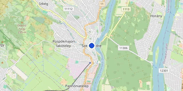
Race location: Szentendre

© OpenStreetMap
Target time planner
Distance
No elevation gain is given for this distance, we assume a flat course.
Target time (h : m : s)
:
:
Average pace on this course
6:00 /km
Pace band for this race → Full pace calculator → Splits calculator →
Register
Race website
Add to calendar
This information is indicative; the official race announcement always prevails and is available through the links above.
Surface
Trail
You're going! 🎉
FAQ
Salomon Szentendre Trail 2027 takes place on May 16, 2027 at Szentendre (Pest county).
The race takes place at: Szentendre, Pest county.
Salomon Szentendre Trail 2027 offers the following distances: 54 km.
Registration is available online on the official entry page. Open registration page →
All details are on the official race website. Open official website →
Let us know via the “Wrong info? Report it” button at the bottom; we review and fix it.
Recommended races





Enjoying futoversenyinfo.hu? Support development for the price of a sports drink or a gel.
☕ Support us