
Mátrabérc Trail 2027
Distances & start times
- 8,8 km 303 m D+
- 26,7 km 1156 m D+
- 54,2 km 08:00 2750 m D+
About the race
Expected weather on race day
Average of past yearsThis information is indicative; the official race announcement always prevails and is available through the links above.
Location
Race location: Sirok, Kőkútpuszta


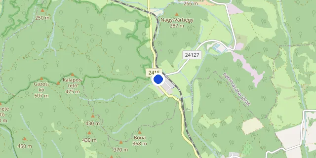
Choose a distance to show its route.
Route and elevation profile
Select a distance to see its elevation profile and aid stations here.
The route could not be loaded right now. Please try again later.
Elevation profile
- Measured length
- 8.8 km
- Elevation gain
- 303 m
- Elevation loss
- 303 m
- Highest point
- 437 m
- Lowest point
- 154 m
- Max. gradient
- 12%
Source: the organiser’s GPX file · loop course, arrows show the direction
- Measured length
- 26.7 km
- Elevation gain
- 1 156 m
- Elevation loss
- 1 156 m
- Highest point
- 804 m
- Lowest point
- 155 m
- Max. gradient
- 22%
Source: the organiser’s GPX file · loop course, arrows show the direction
- Measured length
- 54.2 km
- Elevation gain
- 2 555 m
- Elevation loss
- 2 571 m
- Highest point
- 1 017 m
- Lowest point
- 155 m
- Max. gradient
- 36%
Source: the organiser’s GPX file · point-to-point course, arrows show the direction
Target time planner
Distance
Elevation gain: +2,750 m D+
Target time (h : m : s)
Average pace on this course
6:00 /km
The elevation gain adds +121 s/km, on a flat course this equals a 3:59 /km pace.
Pace band for this race → Full pace calculator → Splits calculator →
FAQ
Recommended races



Enjoying futoversenyinfo.hu? Support development for the price of a sports drink or a gel.
☕ Support us