
 Ötpróba
II. BakonyBérc
About the race
A Bakony a Dunántúli középhegység része, jellemzően 400 és 700 méter közötti csúcs magasságokkal. Versenyünk által szeretnénk bemutatni, megismertetni egy szélesebb sportolói réteggel.
A BakonyBérc teljes távja 70,5 km, a szintemelkedés 2154 m, a terep végig futható murvás és dózer utakon, erdei ösvényeken zajlik.
Az egyéni indulóknak 6 helyen lesz módjuk frissítésre.
Expected weather on race day
Average of past yearsLocation
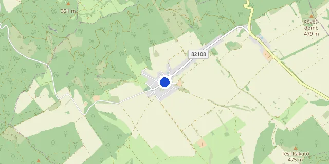
Race location: Tés, Rajt,6:00-kor Csőszpuszta felőli vége),https://maps.app.goo.gl/LUd4GfyDwUyVgrXK9 majd a célterület,Nagytevel strand,https://maps.app.goo.gl/JGtxfmCATG6P5PHu9

Target time planner
Distance
Elevation gain: +2,154 m D+
Target time (h : m : s)
Average pace on this course
6:00 /km
The elevation gain adds +84 s/km, on a flat course this equals a 4:36 /km pace.
Pace band for this race → Full pace calculator → Splits calculator →
This information is indicative; the official race announcement always prevails and is available through the links above.
FAQ
Recommended races




Enjoying futoversenyinfo.hu? Support development for the price of a sports drink or a gel.
☕ Support us